


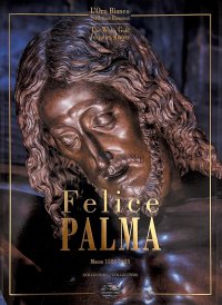
Felice Palma. Massa 1583-1625. Collezione / Collection.
Texts by Claudio Casini, Andrei Cristina, Ciarlo Nicola, Federici Fabrizio and Sara Ragni.
Italian and English Text.
Pontedera, 2024; bound in a case, pp. 289, b/w and col. ill., b/w and col. plates, cm 24,5x34.
(L'Oro Bianco. Straordinari Dimenticati. The White Gold Forgotten Masters).
cover price: € 160.00
|

Books included in the offer:
Felice Palma. Massa 1583-1625. Collezione / Collection.
Texts by Claudio Casini, Andrei Cristina, Ciarlo Nicola, Federici Fabrizio and Sara Ragni.
Italian and English Text.
Pontedera, 2024; bound in a case, pp. 289, b/w and col. ill., b/w and col. plates, cm 24,5x34.
(L'Oro Bianco. Straordinari Dimenticati. The White Gold Forgotten Masters).
FREE (cover price: € 160.00)
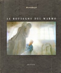
Le botteghe del marmo
Italian and English Text.
Ospedaletto, 1992; bound, pp. 153, 10 b/w ill., 60 col. ill., cm 24x29.
(Immagine).
FREE (cover price: € 34.49)
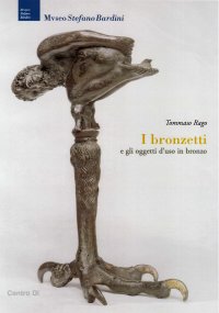
Museo Stefano Bardini. I Bronzetti e gli Oggetti d'Uso in Bronzo
Edited by Nesi A.
Firenze, 2009; paperback, pp. 191, 102 b/w ill., 7 col. ill., cm 17x24,5.
(Museo Stefano Bardini).
FREE (cover price: € 30.00)
Bronzetti e Rilievi dal XV al XVIII Secolo
Bologna, 2015; 2 vols., bound in a case, pp. 729, ill., col. plates, cm 21,5x30,5.
FREE (cover price: € 90.00)
Monte Baldo. 117. 1:25.000. 1000 km mountainbike trails
Enrico Casolari - Remo Nardini
4Land
Italian, English and German Text.
Bolzano, 2017; paperback, pp. 1, cm 13x23.
ISBN: 88-89823-69-0 - EAN13: 9788889823699
Subject: Travel's Culture
Places: Venetian
Languages: 


Weight: 2 kg